

Although Cerro Gordo was an obstacle that made difficult the communications between Motril and the inside of the province, it is the backdrop of Motril landscape highlighted together with the smoothness of the meadow of the Guadalfeo River.
Views out across the surrounding landscape from the Cerro del Gordo are quite breathtaking, that is the reason why the ancient settlers inhabited this area. The mining deposits of Cerro Gordo are located in the north part of the hill, pointed towards the rambla of Cañizares-Escalate. At present, these mining deposits, from the Copper Age (1,700 B.C. to 1,000 B.C.) has been destroyed due to the intensive erosion. The economic basis of this society was mainly the agriculture, the ranching and an emerging metallurgy.
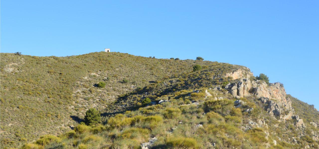
The start of the path is located in a diversion on the left driving along the old national road to Granada (from Motril), just before a crossroads where we turn right to start the hiking. Along the south of Cerro Gordo until you reach the peak where you will find a hut in ruins.
Views out across the surrounding landscape from the Cerro del Gordo are quite breathtaking.
Going along the old national road to Granada from Motril, before reaching the entrance to the peri-urban park called Mirador, branch off to the left. Following this path, we reach a crossroads where the hiking starts on the right, just when you find a big warehouse.
Peak of Cerro Gordo.
The old path called “Camino Antiguo de Granada” is located at the beginning of this path, 200 metres (256.17 feet) in direction to Gorgoracha, along the old national road to Granada.